


As we navigate the ever-changing landscape of asset management, it is crucial to explore innovative solutions that can help us achieve open space harmony. One such solution lies in the power of satellite imagery and field service. By harnessing the capabilities of these technologies, we can revolutionize the way we manage our assets, enhancing efficiency, and creating a balanced and harmonious environment.
Harnessing the Power of Satellite Imagery and Field Service
When it comes to asset management, information is power. By leveraging the capabilities of satellite imagery and field service, we can gather valuable data that provides us with a comprehensive understanding of our assets. Satellite imagery offers a bird’s eye view, allowing us to monitor large open spaces with ease, while field service empowers us to collect on-the-ground data, capturing fine-grained details.
The combination of these two technologies offers us a powerful toolset to make informed decisions. Whether it’s monitoring vegetation growth, identifying potential hazards, or assessing the condition of infrastructure, satellite imagery and field service provide us with a holistic perspective, enabling us to take proactive measures and optimize asset management strategies.
Let’s delve deeper into the capabilities of satellite imagery. With high-resolution satellite images, we can zoom in and analyze specific areas of interest. This level of detail allows us to identify changes in vegetation patterns, detect encroachment on protected areas, and even monitor the impact of climate change on our assets. By continuously monitoring these changes, we can anticipate potential risks and implement preventive measures.
Furthermore, satellite imagery can also provide us with valuable insights into the condition of our infrastructure. By analyzing the images, we can identify signs of wear and tear, such as cracks or corrosion, that may not be easily visible from the ground. This early detection allows us to schedule maintenance and repairs before any significant damage occurs, saving both time and money.
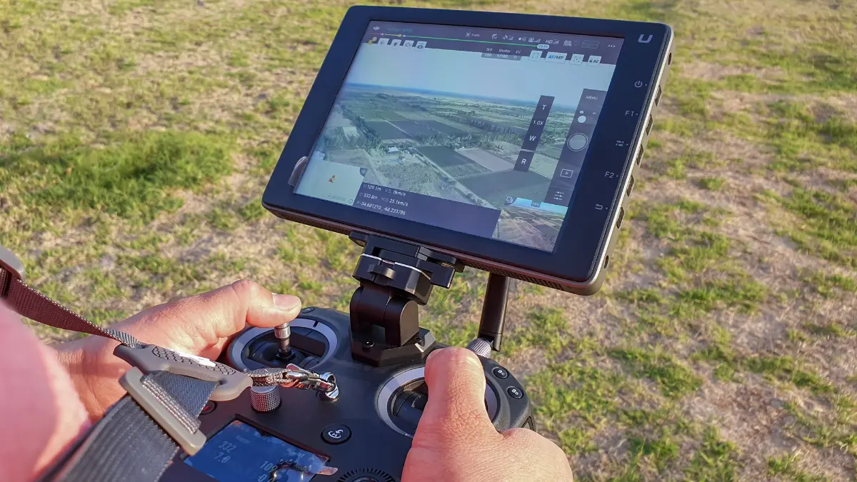
On the other hand, field service plays a crucial role in asset management by providing us with on-the-ground data. Field technicians equipped with mobile devices can collect data on asset performance, maintenance activities, and environmental conditions. This real-time data allows us to monitor the health of our assets and identify any anomalies that may require immediate attention.
Field service also enables us to capture fine-grained details that satellite imagery may not be able to provide. For example, field technicians can conduct physical inspections of equipment, ensuring that they are functioning properly and adhering to safety standards. They can also collect samples for laboratory analysis, helping us assess the quality of materials and identify any potential risks.
By combining the insights from satellite imagery and field service, we can create a comprehensive asset management strategy. The data collected from both sources can be integrated into a centralized system, providing us with a holistic view of our assets. This integrated approach allows us to prioritize maintenance activities, allocate resources effectively, and make data-driven decisions.
In conclusion, harnessing the power of satellite imagery and field service offers us a wealth of information to optimize asset management. From monitoring vegetation growth to assessing infrastructure condition, these technologies provide us with a holistic perspective that empowers us to take proactive measures and make informed decisions. By continuously gathering and analyzing data, we can ensure the longevity and efficiency of our assets, ultimately leading to improved operational performance and cost savings.
Leveraging Satellite Imagery to Improve Asset Management
Open spaces are dynamic ecosystems, constantly evolving and requiring careful management. To effectively maintain these spaces, we need to leverage satellite imagery to its full potential. With the ability to capture high-resolution images, satellite technology allows us to monitor changes in vegetation, water bodies, and land use patterns.
By analyzing this data, we can identify areas of concern and implement targeted management strategies. For example, if we notice an increase in vegetation density in a particular area, we can take preventive measures to reduce the risk of wildfires. Similarly, if we observe changes in water bodies, we can implement strategies to optimize water management and ensure sustainable use.
Creating Balance and Harmony in Open Space
Open spaces serve as a sanctuary for biodiversity and recreational activities, but striking a balance between preservation and use can be challenging. However, satellite imagery and field service provide us with the tools to achieve this delicate equilibrium.
With satellite imagery, we can monitor the impact of human activities on open spaces. Whether it’s tracking the footfall in popular recreational areas or identifying encroachments, we can gather data that allows us to make informed decisions and implement management strategies that preserve the natural beauty of these spaces while ensuring their sustainable use.
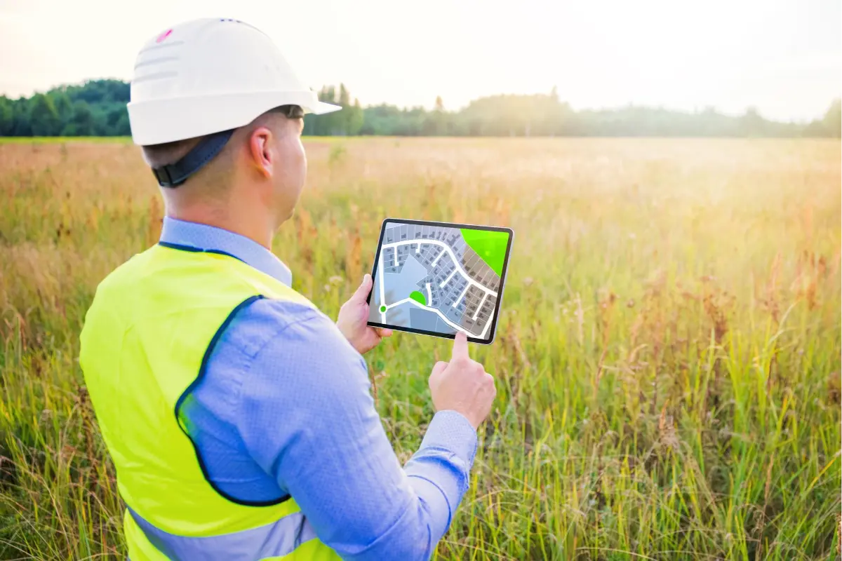
Utilizing Field Service to Enhance Asset Management
Asset management is not limited to open spaces alone; it extends to infrastructure and facilities as well. By utilizing satellite imagery and field service, we can enhance our asset management practices across the board.
For infrastructure, satellite imagery can help us identify areas in need of repair or maintenance. By closely monitoring bridges, roads, and other critical structures, we can proactively address any issues before they escalate, ensuring the safety and longevity of these assets.
Similarly, for facilities such as parks and recreational areas, field service allows us to gather real-time data on resource utilization. By understanding how these spaces are being used, we can optimize maintenance schedules, allocate resources effectively, and enhance the overall experience for visitors.
Enhancing Open Space Management with Satellite Imagery and Field Service
Open spaces are precious resources that require careful management and preservation. By enhancing our open space management practices with satellite imagery and field service, we can ensure that these spaces continue to thrive for generations to come.
Whether it’s improving conservation efforts, maintaining recreational areas, or monitoring changes in land use patterns, satellite imagery and field service offer us a comprehensive toolkit. By harnessing these technologies, we can enhance our asset management practices, achieve open space harmony, and create a sustainable future.
Let us embrace the power of satellite imagery and embark on a journey towards open space harmony!