


Disasters strike when we least expect them, causing widespread devastation and leaving communities struggling to recover. In these critical moments, every second counts, and having accurate and real-time information can make all the difference in saving lives and restoring normalcy. This is where geolocation data comes into play, providing crucial insights that enable efficient disaster response and recovery efforts. Gruntify, a leading technology platform, has emerged as a pioneer in utilizing geolocation data to transform the way we tackle emergency situations.Geolocation data plays a crucial role in disaster response by providing real-time information on the exact location and extent of the disaster-affected areas. This data is instrumental in creating detailed maps that show the impact of the disaster, helping responders navigate through affected regions and reach those in need more efficiently. Additionally, geolocation data enables the coordination of resources and personnel by pinpointing where help is most urgently required, ensuring a swift and targeted response to mitigate the impact of the disaster.Incorporating geolocation data into disaster response efforts also allows for the establishment of communication networks that connect responders, volunteers, and affected communities. By utilizing this data, organizations can set up temporary communication centers in strategic locations, enabling seamless information sharing and coordination of rescue and relief efforts. Furthermore, geolocation data aids in the establishment of safe zones and evacuation routes, ensuring the safety and well-being of both responders and survivors during the chaotic aftermath of a disaster.
Facing the aftermath: the challenge for utilities
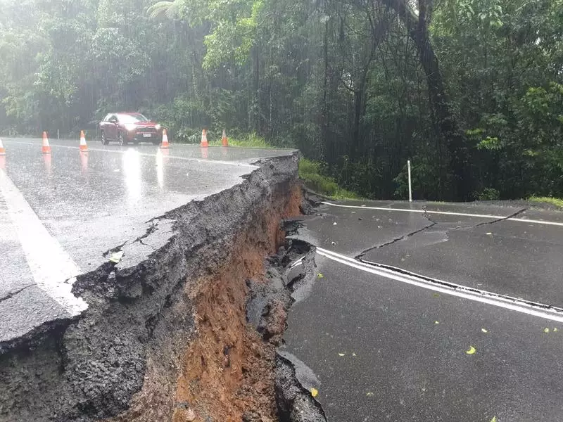
After a disaster strikes, utilities face immense challenges in restoring critical services such as electricity, water, and telecommunications. The destruction caused to infrastructure compounds the complexity of their task, making it crucial to have accurate and up-to-date information on the ground conditions. Gruntify’s cutting-edge technology enables utilities to assess the damage more effectively by combining geolocation data with real-time updates from field crews. This data fusion allows for a comprehensive view of the situation, enabling utilities to prioritize repairs and swiftly restore essential services to affected communities.
One of the key aspects that utilities need to consider in the aftermath of a disaster is the safety of their personnel. The damaged infrastructure, unstable buildings, and hazardous materials pose significant risks to field crews working on restoration efforts. Implementing strict safety protocols, providing proper training, and equipping workers with the necessary protective gear are essential steps in ensuring the well-being of utility employees.
Moreover, the financial implications of post-disaster recovery efforts cannot be overlooked. The cost of repairing or replacing damaged infrastructure, mobilizing resources, and compensating for service disruptions can place a considerable strain on utility budgets. Collaborating with government agencies, insurance providers, and other stakeholders to secure funding and resources is crucial for utilities to effectively manage the financial burden and expedite the restoration process.
The need for real-time data and GIS in post-disaster environments
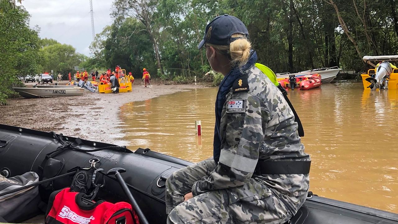
In the aftermath of a disaster, time is of the essence. The ability to access real-time data is crucial for effective decision-making and response coordination. Gruntify’s advanced Geographical Information System (GIS) integration empowers emergency management teams with a comprehensive situational awareness platform. By overlaying geolocation data with real-time updates on incidents, resources, and personnel, GIS provides a holistic view of the disaster area. This integrated approach enhances response coordination, streamlines rescue efforts, and ultimately saves more lives.
Real-time data in post-disaster environments is not only essential for immediate response but also for long-term recovery and rebuilding efforts. By utilizing GIS technology, organizations can track the progress of reconstruction projects, assess infrastructure damage, and plan for future disaster resilience. The ability to analyze real-time data trends over time allows for adaptive strategies that can better prepare communities for future disasters.
Furthermore, the integration of GIS with real-time data in post-disaster environments can also aid in the identification of vulnerable populations and areas that require special attention. By mapping out demographic information, such as age groups, income levels, and access to healthcare, emergency management teams can tailor their response efforts to meet the specific needs of those most at risk. This targeted approach ensures that resources are allocated efficiently and effectively, maximizing the impact of post-disaster interventions.
Leveraging Technology for Efficient Disaster Management
Technology has revolutionized disaster management, making it more efficient and responsive. Gruntify’s state-of-the-art mobile application equips first responders with a powerful toolset to collect, visualize, and share geolocation data in real-time. This streamlined workflow eliminates paperwork, accelerates data collection, and enables timely decision-making. The integration of geolocation data and technology ensures that those on the frontline have the information they need at their fingertips, optimizing their efforts and minimizing response time.
In addition to real-time data collection and visualization, technology also plays a crucial role in enhancing communication during disaster management. Through the use of advanced communication tools and platforms, emergency response teams can coordinate more effectively, share critical information instantly, and collaborate seamlessly across different locations. This level of interconnectedness and communication is essential in ensuring a swift and well-coordinated response to disasters of varying scales.
Moreover, the utilization of artificial intelligence (AI) and machine learning algorithms further enhances the capabilities of disaster management technologies. These technologies can analyze vast amounts of data to identify patterns, predict potential risks, and provide valuable insights to decision-makers. By leveraging AI-driven solutions, emergency responders can proactively plan their strategies, allocate resources efficiently, and mitigate risks more effectively, ultimately saving lives and minimizing the impact of disasters on communities.
Gruntify’s Innovative Approach to Disaster Response
What sets Gruntify apart is its ability to seamlessly merge various data sources and formats, allowing for comprehensive analysis and a more accurate understanding of the situation. By integrating geolocation data with social media feeds, weather updates, and real-time sensor data, Gruntify creates a multidimensional map that aids in identifying emerging risks and planning response strategies. This innovative approach empowers emergency managers to make informed decisions, enhance preparedness, and minimize the impact of future disasters.
How Gruntify supports disaster recovery
While disaster response is vital, recovery is equally significant. Gruntify’s geolocation data assists in post-disaster assessments by providing detailed insights into the damage caused and the resources required for reconstruction. This data-driven approach optimizes resource allocation, expedites recovery efforts, and ensures that affected communities receive the support they need efficiently. With Gruntify’s comprehensive geolocation data, recovery becomes a streamlined process aimed at building back stronger and more resilient communities.
Discover Gruntify for emergency response management
Geolocation data is revolutionizing disaster response, and Gruntify is at the forefront of this transformation. By leveraging cutting-edge technology, innovative approaches, and comprehensive data analysis, Gruntify is making a significant difference in how we manage emergencies. With the power of geolocation data, we can respond faster, allocate resources more efficiently, and ultimately save more lives. It is time to embrace this digital revolution in disaster management and discover the immense potential that Gruntify brings to the table.