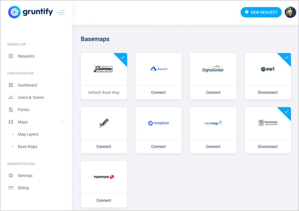
All modern software today includes some form of maps. From Google and Apple Maps – products which most consumers are familiar with, to OpenStreetMap, HERE, TomTom, ESRI, DigitalGlobe, Mapbox, Azure Maps or NearMap, the choice of mapping systems continues to grow.
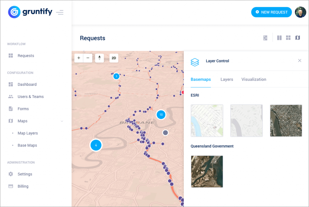
Now, what if you could activate some or all of those basemaps in your Gruntify web app? And then, overlay your own custom spatial layers like road network, property boundaries or even electric vehicle charging stations on top? Wouldn’t that be great?
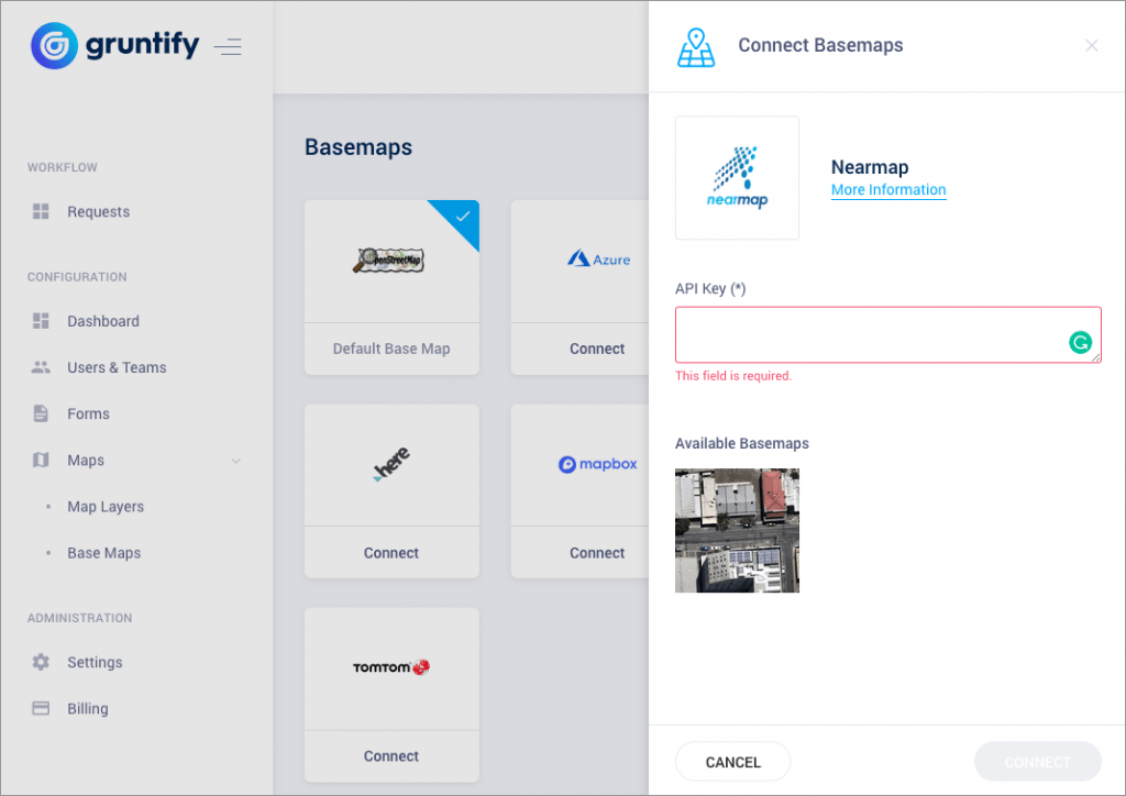
With Gruntify v4, the brand new basemap management tool will allow you to do just that! You will be able to activate any basemap layers for which you have your own API Key. Our team has already coded integration, and all you have to do is cut and paste your API Key and – voila, the maps from your favorite spatial provider come to life!

Select which basemap layer you wish to use.

Simply paste your API and you’re ready to go! The basemap usage will simply be contributed to your existing account (i.e., Mapbox, or HERE Maps).

In the next article, we will talk about Custom Map Layers, and how Gruntify v4 will improve the way spatial data is stored and delivered. So, stay tuned – or follow us on social media for more updates.
