


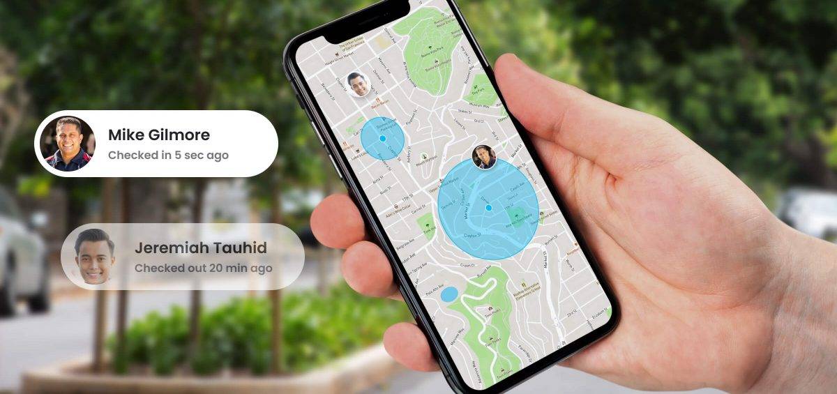
Geofencing creates virtual boundaries on a real-time map. Take any virtual map tracking live GPS tags. This might be packages, vehicles, equipment, or people. The GPS markers move over the map area based on their route. Now draw a circle on that map and send an alert every time one of the GPS objects crossesRead more


