
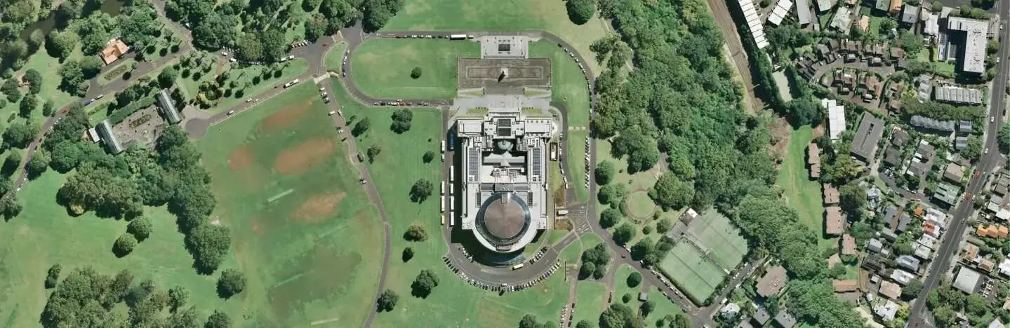
This week, another great basemap has been added to Gruntify - a high resolution Aerial Imagery basemap provided by LINZ. This basemap combines the latest high-resolution aerial imagery down to 5cm in urban areas and 10m satellite imagery to provide full coverage of mainland New Zealand, Chathams and other offshore islands. The basemap uses the latest data from LINZ and other authoritative open data sources. It is provided for free under an open licence.
Features
- Updated regularly with the latest data
- Full coverage of New Zealand and offshore islands
- High resolution imagery of up to 5cm in cities and other major urban areas
- Zoom down to level 22 for high detail
Would you like to know more? Contact us for more information.